What Affects Rates in Mount Pleasant
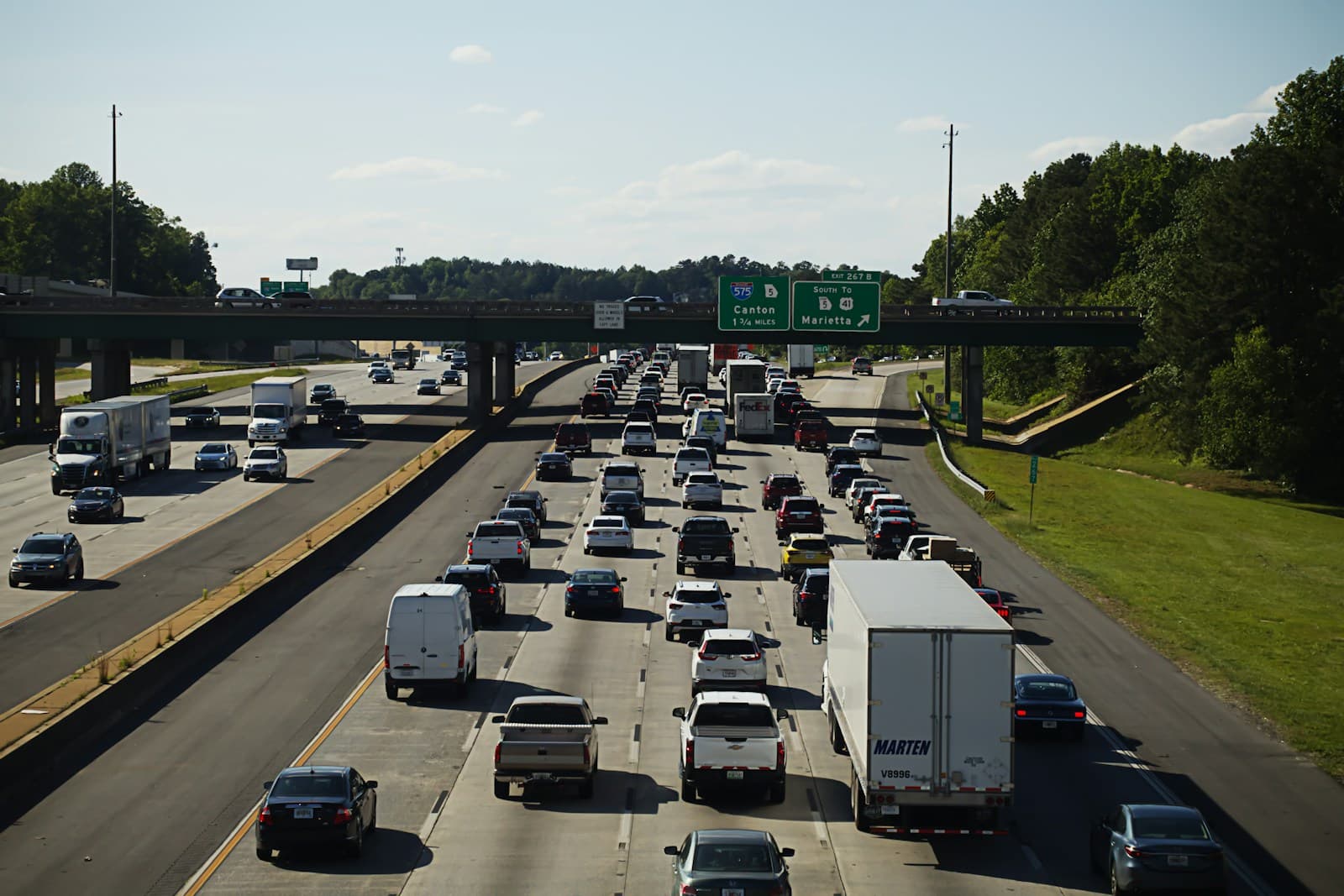
- Nearly every Mount Pleasant commute involves either the Ravenel Bridge or Highway 17, both high-volume corridors with elevated accident rates. The Highway 17/I-526 interchange sees frequent congestion-related claims, particularly during tourist season and hurricane evacuations. Drivers living east of the Rifle Range Road corridor often see marginally lower rates due to reduced bridge dependency.
- Comprehensive coverage costs reflect Mount Pleasant's Category 3 hurricane exposure and tidal flood zones extending inland past the Intracoastal Waterway. The 2024 flood maps reclassified portions of Park West and Dunes West, affecting comprehensive premiums for vehicles garaged near Hobcaw Creek and Boone Hall Creek. Carriers apply coastal surcharges that can add 12–18% to base rates.
- Old Village and I'On see lower theft rates and claim frequency compared to high-density apartment zones near Towne Centre. Park West and Carolina Park, with newer infrastructure and gated sections, often qualify for modest discounts. Developments along Mathis Ferry Road and east of Highway 41 experience higher collision rates due to expanding commercial traffic and construction zones.
- Summer months bring 30–40% traffic increases along Coleman Boulevard and Highway 703 toward Sullivan's Island and Isle of Palms. Seasonal accident spikes between Memorial Day and Labor Day, particularly near Shem Creek and Patriots Point, factor into underwriting models. Drivers with beach commute patterns may face slight premium adjustments.
- Mount Pleasant added 22,000 residents between 2010 and 2020, straining roadways not designed for current volume. Active construction along Mathis Ferry Road, Rifle Range Road, and Long Point Road creates temporary hazard zones with elevated claim frequency. Carriers monitor development pace when setting area rates, with new subdivisions often seeing rate stabilization only after infrastructure matures.
Compare auto insurance rates in your state
Get matched with licensed carriers in minutes. One short form, real quotes, no obligation.
Get Your Free QuoteCoverage Recommendations
Cost estimates are based on available industry data and vary by driver profile. These are not insurance quotes.
Liability Insurance
Critical for Mount Pleasant's congested bridge and Highway 17 corridor where multi-vehicle accidents are common during peak commute hours.
$75–$130/moEstimated range only. Not a quote.
Full Coverage
Recommended for financed vehicles given Mount Pleasant's dual exposure to coastal flooding and high-traffic collision zones along major arteries.
$155–$240/moEstimated range only. Not a quote.
Comprehensive Coverage
Essential in coastal Mount Pleasant where hurricane storm surge, tidal flooding, and salt air corrosion pose year-round vehicle risks.
$45–$85/moEstimated range only. Not a quote.
Collision Coverage
Valuable given frequent fender-benders on Highway 17, Coleman Boulevard, and the Ravenel Bridge approach lanes during tourist season.
$60–$110/moEstimated range only. Not a quote.
Uninsured Motorist Coverage
Important coverage as Mount Pleasant's tourist influx and construction worker population increase exposure to underinsured drivers.
$20–$40/moEstimated range only. Not a quote.